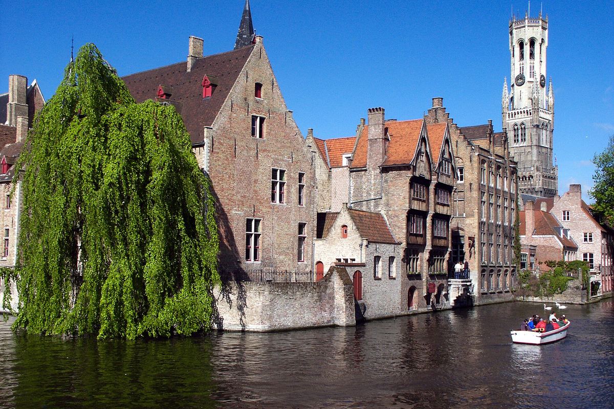
How many days do you need in Bruges?
Our Bruges route is built for 2 days and covers 12 stops, from arrival to the last drink of the last evening. It is a starting point rather than a rule — the app tightens it if you have fewer days and stretches it if you have more.
Is there a ready-made Bruges itinerary?
Yes — “Bruges at Your Own Pace” is a day-by-day Bruges route from the SMOVECITY editors. You can read every stop on the web, then open it in the app and change anything you like.
Where should I eat in Bruges?
Our Bruges guide lists 19 restaurants and bars, each with its own page. SMOVECITY does not rank or review them — the listings are there so you can find the place, and its own site.
How do I get around Bruges?
Bruges has ride-hail and public transport (trams, buses and trains). SMOVECITY shows them together on one live map, so you can compare and pick the fastest or cheapest option for each leg without switching between apps.
Does SMOVECITY show public transport in Bruges?
Yes. Where Bruges's transport agency publishes a live feed, SMOVECITY shows real-time trams, buses and trains departures; otherwise it uses the scheduled timetable.
What other cities are near Bruges?
Ghent, Kortrijk, Aalst and Lille are the closest cities SMOVECITY covers — 38 to 66 km out in a straight line. Each has its own guide and operator list.
Is SMOVECITY free to use?
Yes — the app is free to download and free for planning and routing. SMOVECITY earns a commission only when you book through its partners, at the same price as booking direct.
 SMOVECITY